



GeoExpress
Deployment
Windows
Best for
Small
Overview
About GeoExpress
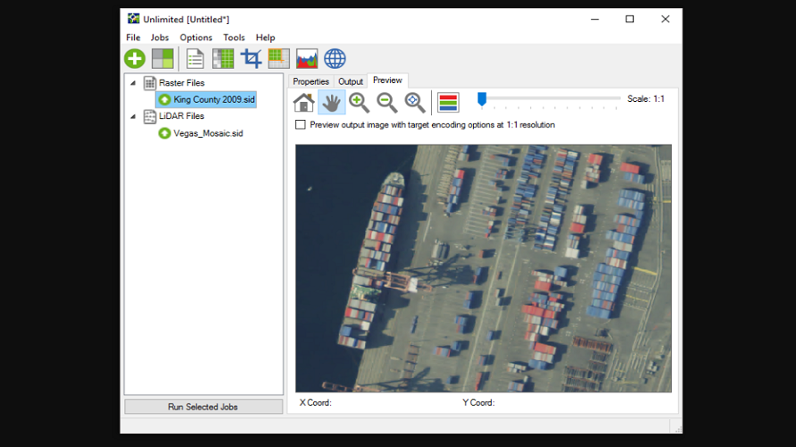
The massive, high-definition imagery used throughout the geospatial industry provides invaluable insights, but huge file sizes can make sharing, viewing, and manipulating this data extremely challenging. GeoExpress enables geospatial professionals to compress imagery to our proprietary, industry-standard MrSID format. This format supports lossless and visually lossless compression, enabling users to shrink file sizes without sacrificing image quality.
At a glance
Software information
Industries served, licensing and the support GeoExpress provides.
Licensing
- Quote Based
- Free trial
Support
- Online (Ticket)
Training
- Help Guides
- Video Guides
- Blogs
- Case Studies
Knowledge Base
- Help Guides
- Video Guides
- Blogs
- Case Studies
No reviews submitted yet.
Be the first one to reviewCapabilities
GeoExpress features
The full feature set, grouped by module.
Plans
GeoExpress pricing
Free Version
No
Payment Frequency
Quote Based
Free Trial
30 Days
Media
Screenshots & video
This profile is not fully claimed
Do you own or represent GeoExpress? Verify your business email to claim and manage this Goodfirms profile.